

CHC Navigation (CHCNAV) has launched the Apache 3 Pro, a compact hydrographic uncrewed surface vessel (USV) designed for autonomous bathymetric surveys in shallow waters.

RIEGL and Schiebel have completed the integration of a laser scanning system, the RIEGL VQ-840-G topo-bathymetric lidar sensor, on the Schiebel CAMCOPTER S-100 UAS.
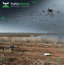
TOPODRONE used its synchronized lidar, airborne photogrammetry and bathymetric surveying methods to study a floating solar farm in Israel.

TOPODRONE, a Swiss-based designer and manufacturer of high-precision LiDAR equipment, launched a UAV-based solution for bathymetric surveying and marine construction.
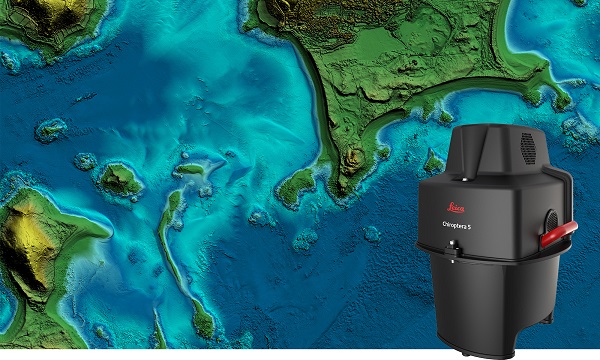
The new Leica Chiroptera-5 is a high-performance airborne bathymetric lidar sensor for coastal and inland water surveys. Offered […]

Israeli drone service provider ERELIS has conducted a number of pilot projects using a drone equipped with a […]
Following its March 29 acquisition of Geodynamics LLC, NV5 Geospatial has built a comprehensive suite of solutions for […]


Follow Us