Your behavior appears to be a little unusual. Please verify that you are not a bot.


TAG: DJI

Photo: Topodrone

TOPODRONE introduces bathymetric surveying device

October 19, 2022

Photo: Matt Cooper/DJI

Boat owners use drones to create global database on plastic pollution

November 23, 2021

This article is tagged with , , , , , and posted in Latest News, Mapping, Space & Earth, UAV/UGV
A drone equipped with an echo sounder surveys the Dead Sea. (Photo: SPH Engineering)

Bathymetric surveys dip into Dead Sea

September 3, 2021

The FLIR M440 UAV. (Photo: Teledyne FLIR)

US Congress may move against Chinese-made drones

June 3, 2021

Photo: DJI

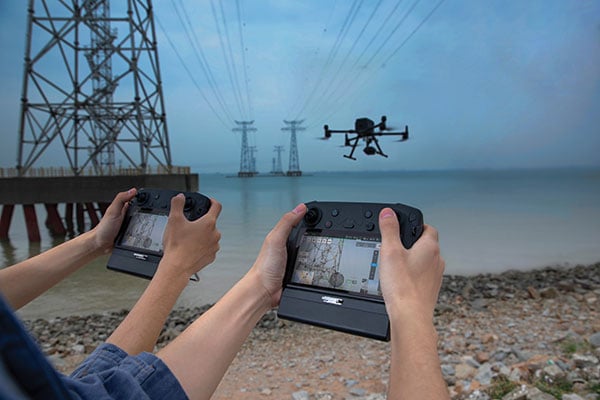
DJI provides dual controllers for two UAV operators

March 29, 2021

This article is tagged with , , and posted in From the Magazine, Product Showcase, UAV/UGV
Photo: SimonSkafar/E+/Getty Images

Shell and DJI partner on drone tech for energy industry

February 5, 2021

DJI unveiled two new solutions at Intergeo 2020: the DJI Zenmuse L1 lidar solution for aerial surveying and DJI Zenmuse P1 camera payload. (Photo: DJI)

DJI unveils integrated lidar drone solution, camera payload

October 15, 2020

This article is tagged with , , , and posted in Latest News, UAV/UGV
Photo: Heisha

Heisha launches drone-in-a-box hardware platform

August 26, 2020

This article is tagged with , , , , , , and posted in Latest News, UAV/UGV