savvy navvy, ProtectedSeas enhance marine navigation app
December 13, 2023
savvy navvy has partnered with ProtectedSeas to bring ProtectedSeas Navigator data to boaters through the savvy navvy app.
Read More

savvy navvy has partnered with ProtectedSeas to bring ProtectedSeas Navigator data to boaters through the savvy navvy app.

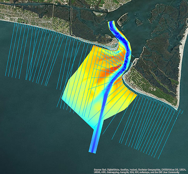
Following its March 29 acquisition of Geodynamics LLC, NV5 Geospatial has built a comprehensive suite of solutions for […]

TCarta Marine LLC of Denver, Colorado, has merged with Proteus Geo of Oxford, England, to create a global […]

TCarta Marine LLC of Denver, Colorado, has merged with Proteus Geo of Oxford, England, to create a global […]
Follow Us