Your behavior appears to be a little unusual. Please verify that you are not a bot.


TAG: CHCNAV

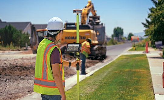
Photo: Juniper Systems

Aligning the trades: GNSS for architecture, engineering and construction

February 27, 2024

Orthophoto of the service area in the section of the G85 highway that is being enlarged. (Photo: CHCNAV)

CHCNAV: Expanding a Highway in China

February 27, 2024

This article is tagged with , , , and posted in From the Magazine, Latest News
An example of the highly detailed single-3D survey output from the Axolotl, showing features both above and below the water. (Image: Advanced Navigation)

Charting uncharted waters: Bathymetry in action

February 14, 2024

Image: Inertial Labs

Launchpad: Lidar scanners, OEMs and anti-jamming receivers

February 6, 2024

Photo:

Auto-steering helps to plant corn, soybeans and rice

January 19, 2024

Image: CHC Navigation

GNSS in the field: Precision agriculture increases yields and reduces inputs

January 19, 2024

Image: SBG Systems

Launchpad: New antennas and UAV surveying software

January 8, 2024

Image: CHCNAV

CHC Navigation introduces USV for bathymetric surveys

November 29, 2023

This article is tagged with , , and posted in Latest News, Survey, UAV/UGV