Per Vices: Flexible radios help autonomous systems interface
April 15, 2024
An exclusive interview with Brandon Malatest, co-founder and COO of Per Vices What is your title and role? […]
Read More

An exclusive interview with Brandon Malatest, co-founder and COO of Per Vices What is your title and role? […]

A roundup of recent products in the GNSS and inertial positioning industry from the February 2024 issue of […]


Morgane Selve, head of marketing at YellowScan, talks about the company’s new surveying technology, its target markets, its use cases and more from INTERGEO 2023.

The 29th INTERGEO conference and trade show on geospatial technology and data was held from October 10 to 12 in the German capital Berlin.

One way to implement direct georeferencing on UAV platforms is the Trimble APX-20 UAV, a GNSS-inertial OEM solution that increases the mapping efficiency of small UAVs.

Editor-in-Chief Matteo Luccio met with two representatives from YellowScan to discuss its global market and a recent end-user success story out of Antarctica.

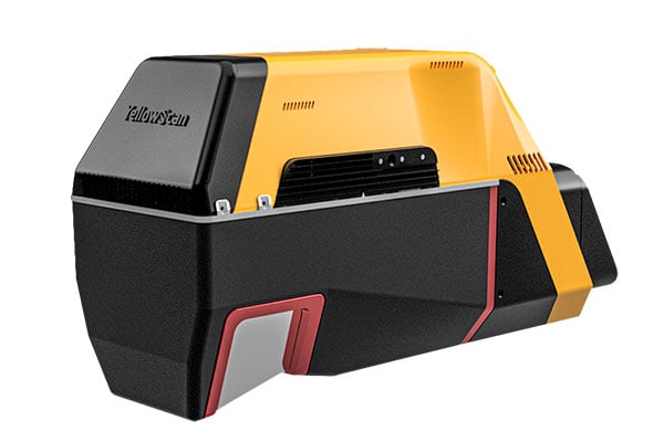
YellowScan has released a new long-range lidar scanner. Voyager is a powerful solution for both manned and unmanned […]
Follow Us