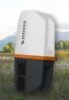
March 26, 2026 Juniper Spire GNSS receiver aimed at simplifying location data collection By Tracy Cozzens
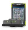
February 17, 2026 New Emesent GX1 is all-in-one SLAM lidar, RTK and 360° imagery scanner By Tracy Cozzens
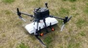
November 25, 2025 SPH Engineering’s new high-resolution GPR antennas for UAVs extend subsurface mapping By Tracy Cozzens
November 24, 2025 New data collection and mobile mapping software used in surveying and mapping projects By Jesse Khalil
October 2, 2025 User-friendly GNSS software meets high-precision mobile mapping for modern surveying By Tracy Cozzens