No audio available for this content.
Following its March 29 acquisition of Geodynamics LLC, NV5 Geospatial has built a comprehensive suite of solutions for geospatial surveys of deep-water and near-shore environments. Geodynamics will operate as a wholly owned subsidiary of NV5 Global as part of the NV5 Geospatial group.
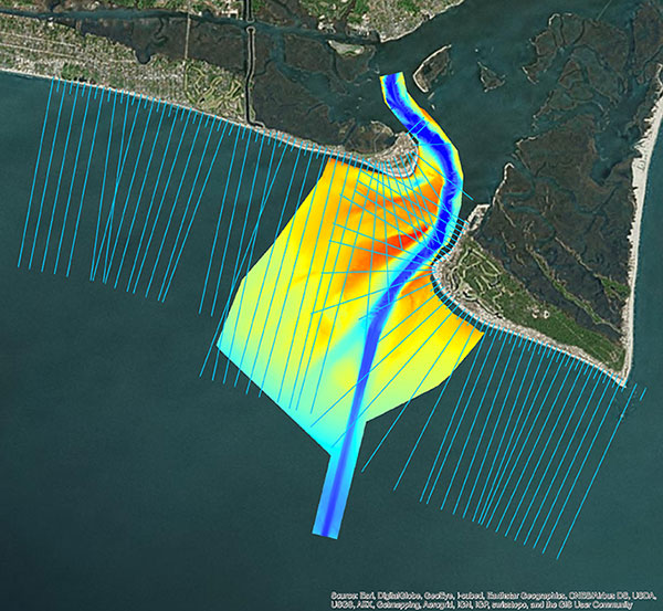
The acquisition brought together complementary, advanced technologies — Geodynamics’ full ocean-depth sonar-based hydrographic and geophysical surveying with NV5 Geospatial’s topographic and bathymetric capabilities. Together, the technologies deliver detailed insights for a variety of applications, including coastal management, flood monitoring, ecosystem protection, research and more.
“This acquisition was a natural evolution toward our common goal of delivering valuable geospatial insights to our clients,” said Kurt Allen, vice president, Federal Vertical for NV5 Geospatial, powered by Quantum Spatial. “Our decades’ of combined experience and expertise using the most sophisticated technology for data acquisition and analysis will enable us to meet the most demanding client requirements.”
Geodynamics is a pioneer in collecting and processing single-beam, multi-beam, sidescan, geophysical and acoustic backscatter hydrographic data in some of the most challenging coastal environments, including dynamic tidal inlets, high-energy surf zones, and rapidly changing shoal systems that challenge navigation.
Geodynamics has completed large-scale hydrographic survey projects in the coastal and adjacent ocean areas of the entire United States, including detailed hydrographic surveys to support federal nautical chart updates in the Atlantic, Gulf of Mexico and Great Lakes region for the Office of Coast Survey of the National Oceanic and Atmospheric Administration (NOAA).
With a research focus on coastal geology, Geodynamics’ offshore geophysical surveys have supported mapping of marine minerals, benthic habitat and identification of potential submerged archaeological resources.
The relationship between the companies began with a joint venture in 2019. Working collaboratively as MarineGeoSpatial LLC, the partnership provided aerial- and ship-based remote sensing for offshore/marine survey and data collection, mapping and data analysis, and marine enterprise GIS services.
“We are excited to embark on this new chapter with NV5,” said Geodynamics CEO Sloan Freeman, PLS. “It is the perfect strategic alignment of aerial, subsea survey and geospatial services. Together, we have the technology, tools and experience to provide the best solutions to our clients and continue to advance scientific knowledge about coastal environments.”


