
Launchpad: Simulators, GNSS receivers, antennas and more
May 31, 2023
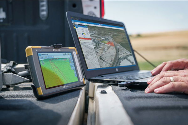
A roundup of recent products in the GNSS and inertial positioning industry from the May 2023 issue of GPS World magazine.
Read More
A roundup of recent products in the GNSS and inertial positioning industry from the May 2023 issue of GPS World magazine.

Carlson Software has released the RT5 rugged tablet data collector and the RTk5 GNSS solution, which integrates the […]

On Dec. 28, Atwell, a Michigan-based, full-service consulting, engineering, and construction services firm, announced its agreement to acquire […]


Approaches to providing real-time kinematic (RTK) solutions at high rates have existed in various forms for decades, providing […]
Survey and construction software suite MAGNET7 is now available from Topcon, using cloud-based connectivity to streamline workflows through […]


My last column described a new National Geodetic Survey (NGS) webtool for obtaining geodetic information about a passive […]


Follow Us