

From OxTS OxTS manufactures inertial navigation systems (INS) and proprietary software on which survey professionals have come to […]
In 2021, OxTS released its smallest, lightest and most affordable inertial navigation system (INS) to date — the […]

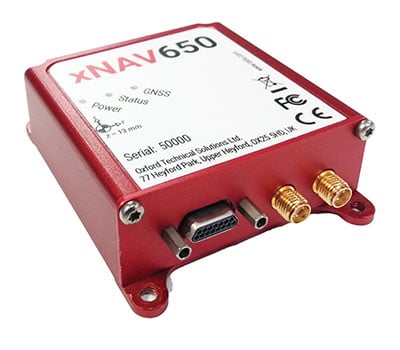
Oxford Technical Solutions has released the xNAV650, the latest in its line of inertial navigation systems (INS), suitable […]


Follow Us