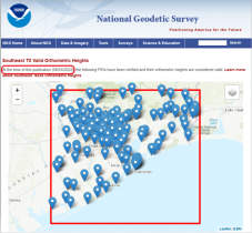
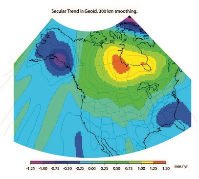
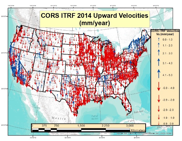
This newsletter will address estimates of vertical movement that will have to be accounted for in the new, modernized National Spatial Reference System.
This column details the potential effects of crustal movement on published heights in various regions of the United […]
The National Geodetic Survey (NGS) has revised an important technical document on the modernized National Spatial Reference System […]
My last column highlighted an ArcGIS web application that incorporates various datasets and data layers to assist surveyors […]
My last column described a new National Geodetic Survey (NGS) webtool for obtaining geodetic information about a passive […]
NGS has developed a new beta tool for obtaining geodetic information about a passive mark in their database. […]
Follow Us