Deployment-ready lidar system Voyage launched
July 26, 2021
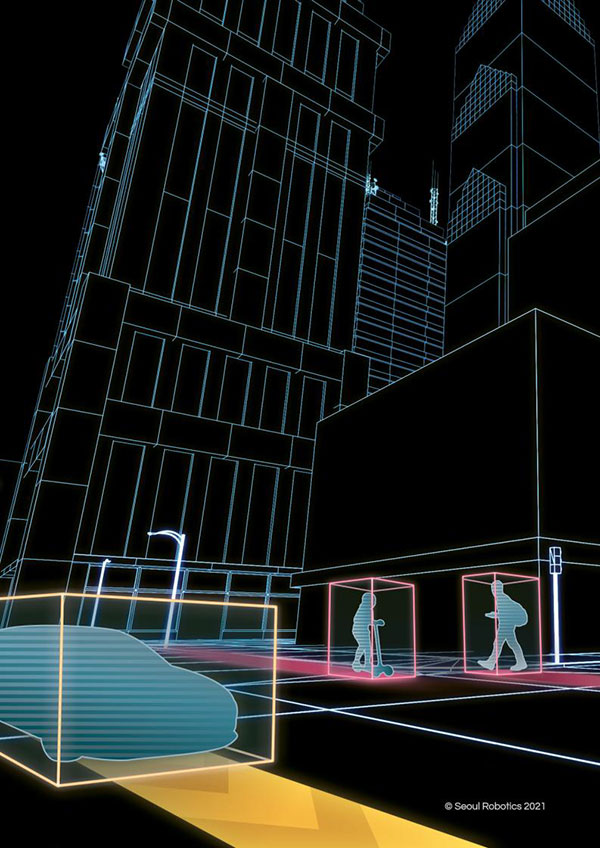
Seoul Robotics has launched Voyage, a plug-and-play lidar perception system. The all-in-one deployment kit is equipped with the […]
Read More
Seoul Robotics has launched Voyage, a plug-and-play lidar perception system. The all-in-one deployment kit is equipped with the […]
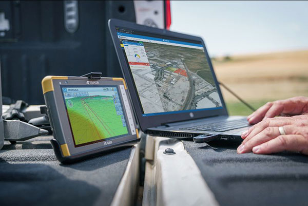
Survey and construction software suite MAGNET7 is now available from Topcon, using cloud-based connectivity to streamline workflows through […]
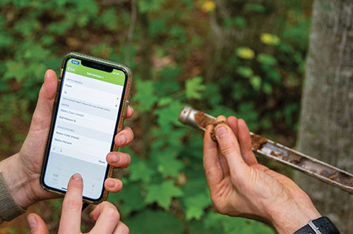
Ecobot, developer of environmental data reporting software, is now integrating enhanced Esri ArcGIS mapping and data capabilities via […]

Auterion, an open-source software company, showcased its product portfolio, which includes Enterprise PX4, at Xponential 2019. According to […]
The newly released version 6 of the Virtual Surveyor drone surveying software offers a faster, more efficient workflow and […]
Bentley Systems’ Year in Infrastructure 2018 Conference will be held Oct. 15-18 in London at the Hilton London Metropole. […]
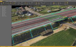
Orbit GT has released v17.1 of its UAS Mapping desktop product including the all-new Upload to the Cloud feature. […]

Sokkia has introduced a pair of software solutions for its total stations, robotics and GNSS rover systems — GeoPro Field […]


Follow Us