OxTS product now available with additional features
March 31, 2023
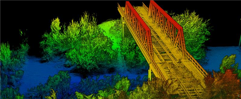
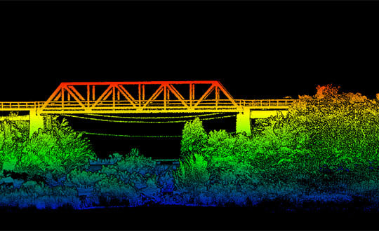
OxTS has released its Georeferencer 2.5 with the anyNAV feature and eight lidar sensors. Georeferencer 2.5 featuring anyNAV software is suitable for survey applications.
Read More
OxTS has released its Georeferencer 2.5 with the anyNAV feature and eight lidar sensors. Georeferencer 2.5 featuring anyNAV software is suitable for survey applications.

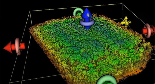
News from OxTS The possible applications for 3D point clouds are almost endless. When you think of lidar, […]

From OxTS OxTS manufactures inertial navigation systems (INS) and proprietary software on which survey professionals have come to […]
OxTS Georeferencer 2.0 is now available, introducing several key improvements, particularly for professional lidar surveyors. Version 1, introduced […]

Oxford Technical Solutions (OxTS) has launched the latest version of its lidar georeferencing software, OxTS Georeferencer 1.4. OxTS […]
Oxford Technical Solutions has released the xNAV650, the latest in its line of inertial navigation systems (INS), suitable […]

OxTS is offering its new OxTS Georeferencer, a powerful lidar georeferencing software tool. OxTS Georeferencer combines OxTS inertial […]


Follow Us