Iranian UAV downed in Ukraine contains western technology
January 11, 2023
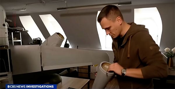
A Ukrainian intelligence assessment obtained by CNN and CBS reported an Iranian UAV downed in Ukraine contained technology […]
Read More
A Ukrainian intelligence assessment obtained by CNN and CBS reported an Iranian UAV downed in Ukraine contained technology […]
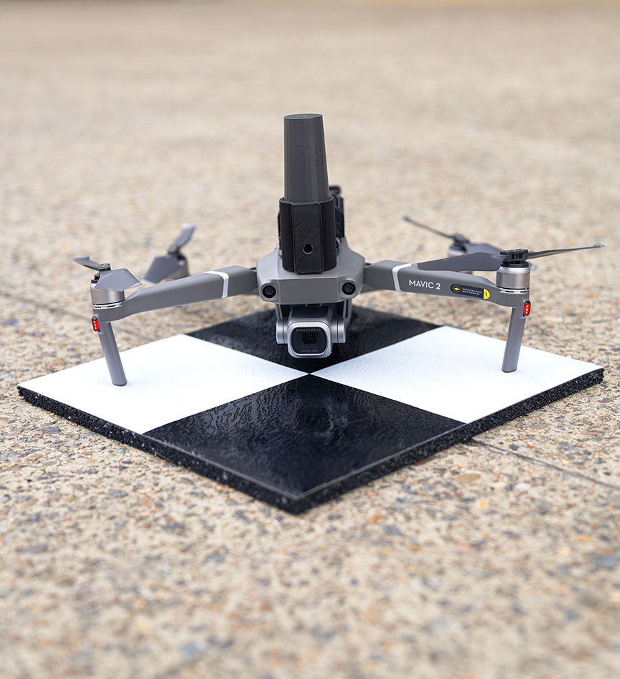
Position Partners has unveiled SmartSurveyor, which facilitates accurate, survey-grade aerial mapping and photogrammetry without the need for a […]

Not to harp on an event that’s already passed out of the headlines and national coverage, but Hurricane […]

Volatus will be responsible for the distribution of Marlyn Cobalt drones in Canada and will provide assistance and maintenance services to local UAV operators.
A roundup of recent products in the GNSS and inertial positioning industry from the October 2022 issue of GPS World magazine.

According to Fact.MR, a market research and competitive intelligence provider, the global surveying and mapping services market was […]
The U.S. Department of Transportation’s Federal Aviation Administration (FAA) has awarded $2.7 million to support research on how […]

NASA and the European Space Agency (ESA) have been cooking up a way to get some of Mars back to Earth, so samples can be analyzed in detail.


Follow Us