
How navigation data is used for video game development
October 17, 2022
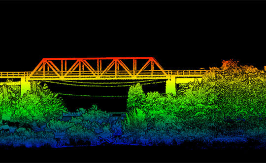
News from OxTS The possible applications for 3D point clouds are almost endless. When you think of lidar, […]
Read More
News from OxTS The possible applications for 3D point clouds are almost endless. When you think of lidar, […]
Oxford Technical Solutions has released the xNAV650, the latest in its line of inertial navigation systems (INS), suitable […]

The Federal Aviation Administration’s (FAA) nationwide deployment of the Low Altitude Authorization and Notification Capability (LAANC) has exceeded […]


Follow Us