November 12, 2015 UAV real-time: Data use in a lightweight direct georeferencing system By GPS World Staff
September 15, 2015 Applanix Offers Entry-Level Georeferencing Solution for Airborne Mapping By GPS World Staff
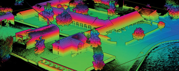
May 5, 2015 Avyon Offers Precision Mapping for Microdrones md4 Fleet from Applanix By GPS World Staff
April 2, 2015 Georeferenced Full Motion Video: Mitigating a Difficult ‘Big Data’ Problem By Art Kalinski