TAG: lidar data

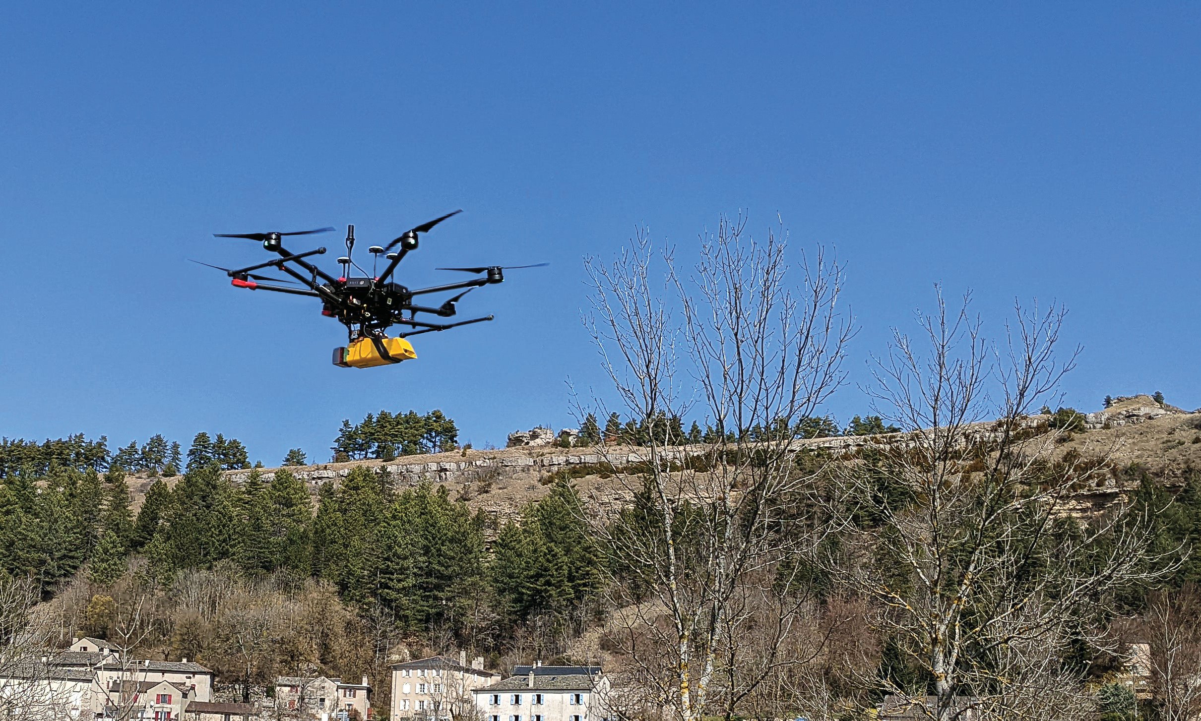
L’avion jaune, a French UAV and aerial photogrammetry company, uses the Trimble Applanix APX-20 UAV GNSS-inertial OEM solution and a YellowScan VX-20 lidar on its M600 multirotor UAV. (Image: L’Avion Jaune)

Trimble Applanix: Unmanned aerial vehicles aid survey efforts

April 10, 2023

OxTS Georeferencer 2.5

OxTS product now available with additional features

March 31, 2023

This article is tagged with , , , and posted in From the Magazine, Latest News, Survey
The realistic racetrack in the Assetto Corsa game. (Screenshot: Dronezone)

How navigation data is used for video game development

October 17, 2022

Photo: Swift Navigation

Engaging data for scooters, cars and trains

December 28, 2021

Image: Hexagon

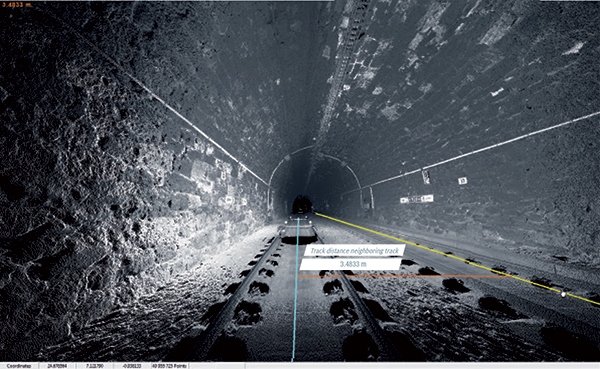
Hexagon selected for Innovate UK rail infrastructure artificial intelligence project

September 4, 2020

Photo: Lidar USA

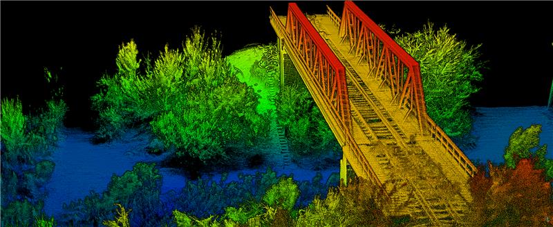
Lidar pairs with unmanned helicopter

April 1, 2020

Photo: ASTRALiTe/SBG Systems

Small-scale topo and bathy lidar ready for UAVs

April 1, 2020

This article is tagged with , , , , and posted in From the Magazine, UAV/UGV

Bluesky launches MetroVista 3D city models online

January 27, 2020