No audio available for this content.
OxTS Georeferencer 2.0 is now available, introducing several key improvements, particularly for professional lidar surveyors.
Version 1, introduced almost two years ago, has since been upgraded with integration of 30 new lidar sensors, as well as providing multiple user-experience enhancements.
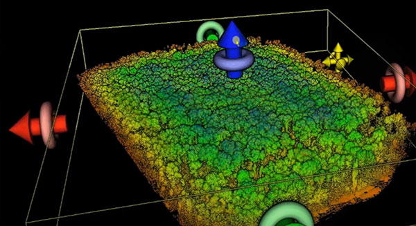
Surveyors can use Georeferenceer alongside any OxTS inertial navigation system (INS) to quickly and easily georeference lidar data from multiple sensors to create precise 3D point clouds.
Version 2.0 highlights
Global coordinates. OxTS Georeferencer 2.0 users can now process data in a range of coordinate systems. These include local coordinates, ECEF and LLA (latitude, longitude and altitude).
New processing options. Users can maximize the usability of their point clouds and minimize data size through a range of processing options, including:
- filter points by position uncertainty keeping every point within a specified accuracy
- maximize the accuracy of the data while minimizing data size with a Voxel sampling algorithm
- filter points by intensity, azimuth and elevation angle of the lidar
- ilter points by speed and range from a vehicle.
Improvements in map file creation. OxTS Georeferencer 2.0 can add the direction from which each point is surveyed into the point cloud, allowing mesh surfaces to be easily reconstructed.
Furthermore, OxTS Georeferencer 2.0 gives surveyors the ability to add point-normal information into the point cloud and view the vehicle trajectory as a point cloud.
Processing advances. Users benefit from better performance due to revisions of the OxTS Georeferencer processing algorithms. With version 2.0, users can process point clouds faster than before and take advantage of improved precision and consistency of the boresight calibration feature, which now utilizes target dimensions.


