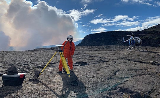
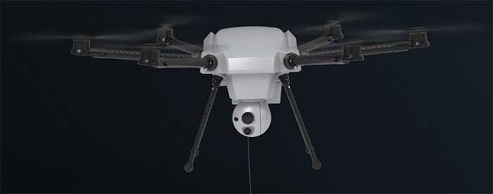
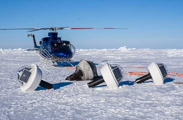
Your behavior appears to be a little unusual. Please verify that you are not a bot.


TAG: volcano

Photo: Tonga Meteorological Services, Government of Tonga

GNSS shows how volcanic eruptions cause ionospheric disruptions

February 14, 2022

An HVO geophysicist deploys a GPS receiver on the Kilauea caldera floor to measure changes in ground motion. A volcanic gas plume rises in the background. (Photo: USGS)

GPS key to monitoring Kilauea eruption, lava lake

December 29, 2020

The Orion 2 tethered drone (Photo: Elistair)

Drone developments: flying into a volcano, tethered drone advantages

November 18, 2020

Autonomous ocean flux buoys integrate SBG Systems’ miniature inertial sensors. (Photo: SBG Systems)

Hot, cold, high, low: GNSS and INS perform under pressure

November 19, 2019

Photo: USGS

GPS actively monitoring Kilauea’s eruptions, lava flows

May 22, 2018

Photo: David Little

Locating lava flows before an eruption

December 1, 2017

Image: GPS World

Septentrio reference receivers to monitor volcanoes for USGS

December 14, 2016

This article is tagged with , , , and posted in Survey

Trimble Offers GNSS Reference Receiver, Seismic Recorder

August 25, 2014