Innovation Insights: Science in paradise
November 17, 2023
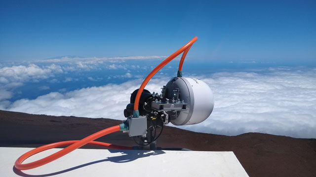
In this quarter’s “Innovation” column, we have an article by some members of the team who built and operate the GNSS-R system on the top of Haleakalā. They explain how the system works and some of the preliminary observations and results they have obtained. More science in paradise!
Read More


Follow Us