TAG: USGS

Marine navigators using NOAA ENC. (Photo: NOAA)

How NOAA is digitizing charts of the Erie Canal

July 24, 2024

This article is tagged with , , , and posted in From the Magazine, Featured Stories, Latest News, Mapping
Photo: Landscape of Badwater Basin salt flats, with halite textures under a vibrant pink sky during sunset or sunrise at Death Valley National Park. (Photo: StephenBridger / iStock / Getty Images Plus / Getty Images)

Woolpert to collect lidar data for USGS

July 2, 2024

This article is tagged with , , , and posted in Mapping, Latest News, Survey
Image: TT / iStock / Getty Images Plus / Getty Images

Seen & heard: Mapping the melting arctic and India’s war on drugs

February 16, 2024

Topobathymetric digital elevation model of the confluence of the Potomac and Shenandoah Rivers at Harper’s Ferry, West Virginia. (Image: USGS)

USGS, Dewberry release precision lidar map of Potomac River

January 3, 2024

This article is tagged with , and posted in Latest News, Mapping, Survey
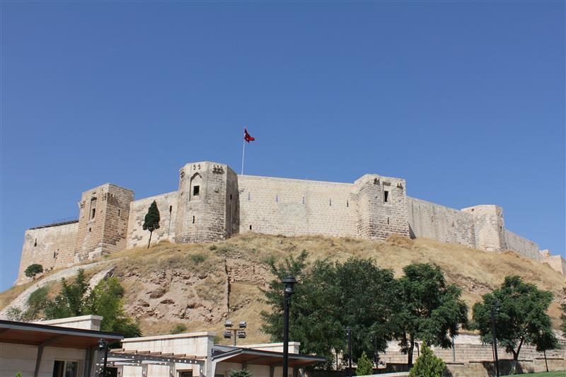
Parts of the historic Gaziantep Castle collapsed, as it lies close to epicenter of the magnitude 7.8 earthquake. (Image: JudyDillon/ iStock / Getty Images Plus/Getty Images)

Earthquake damages cities in Turkiye and Syria

February 6, 2023

Photo: A&J Fotos/E+/Getty Images

NV5 Geospatial marks 65 years serving Alaska with geospatial projects

July 11, 2022

Image: Geo Week 2022

Speakers, program announced for Geo Week conference

October 21, 2021

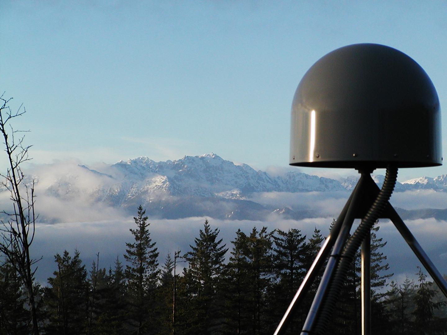
A GNSS station in the Pacific Northwest geodetic array. (Photo: Central Washington University)

US West Coast now has access to GNSS-powered ShakeAlert app

May 12, 2021

This article is tagged with , , , , , , , and posted in Latest News, Mobile