Hot, cold, high, low: GNSS and INS perform under pressure
November 19, 2019
GNSS and inertial navigation sensors are meeting the challenges of extreme conditions, from freezing Arctic ice to the […]
Read More

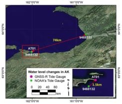
A Tidal ShiftTraditional tide gauges are in contact with the water surface and as a result are susceptible to measurement error and damage during extreme weather. An alternative approach is the use of GNSS reflectometry. We learn how this innovative use of satellite navigation signals works in this month’s Innovation column.

The Belgian dredging, environmental and engineering group DEME relies on the accuracy and reliability of the AsteRx family […]
The Arctic SDI Board, — which includes mapping executives from Canada, Kingdom of Denmark, Finland, Iceland, Norway, Russia, […]

A sea-based test is demonstrating the potential of extending satnav augmentation coverage into north polar regions, offering a safety-of-life standard of navigation performance to users including shipping or aircraft in flight.

The Arctic SDI Pilot is sponsored by the United States Geological Survey (USGS) and Natural Resources Canada. The […]

Arctic sea ice volume has declined by 36 percent in the autumn and 9 percent in the winter […]
Follow Us