Your behavior appears to be a little unusual. Please verify that you are not a bot.


TAG: climate change

Image: Sakorn Sukkasemsakorn/ iStock/Getty Images Plus/Getty Images

Trimble sets climate goals to reduce greenhouse gas emissions

September 6, 2022

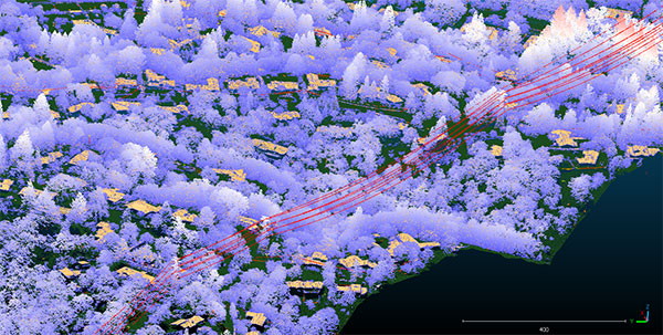
Image: Teren

Teren kicks off nationwide lidar content library program

August 15, 2022

Photo: A&J Fotos/E+/Getty Images

NV5 Geospatial marks 65 years serving Alaska with geospatial projects

July 11, 2022

Gilles Denis shows the AsteRx-SB receiver and the PolaNt-x MF antenna that are accompanying the explorers for the entire journey, so that data can be collected at various locations along the way. The receiver is powered by solar panels. (Photo: Nanok Expedition)

Septentrio rides for climate data on Nanok Arctic expedition

May 27, 2022

Photo: INTERGEO

Ticket presale open for INTERGEO 2022

May 24, 2022

Download report here.

EUSPA publishes EO and GNSS market report

February 4, 2022

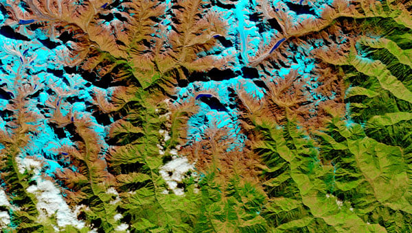
Circumboreal forest biomass density mapped at high spatial resolution (30 m) with NASA’s ICESat-2, the joint NASA/USGS Landsat-8, and ESA Copernicus Digital Elevation Model (DEM) data. This provisional product is representative of 2020 conditions and is an open-source science product created on the NASA-ESA MAAP platform that will be validated in the coming months. (Image: NASA/ESA)

ESA and NASA launch open-source biomass platform

November 2, 2021

Infographic: GPS Innovation Alliance

GPS: The environment’s unsung hero

April 26, 2021