TAG: topography

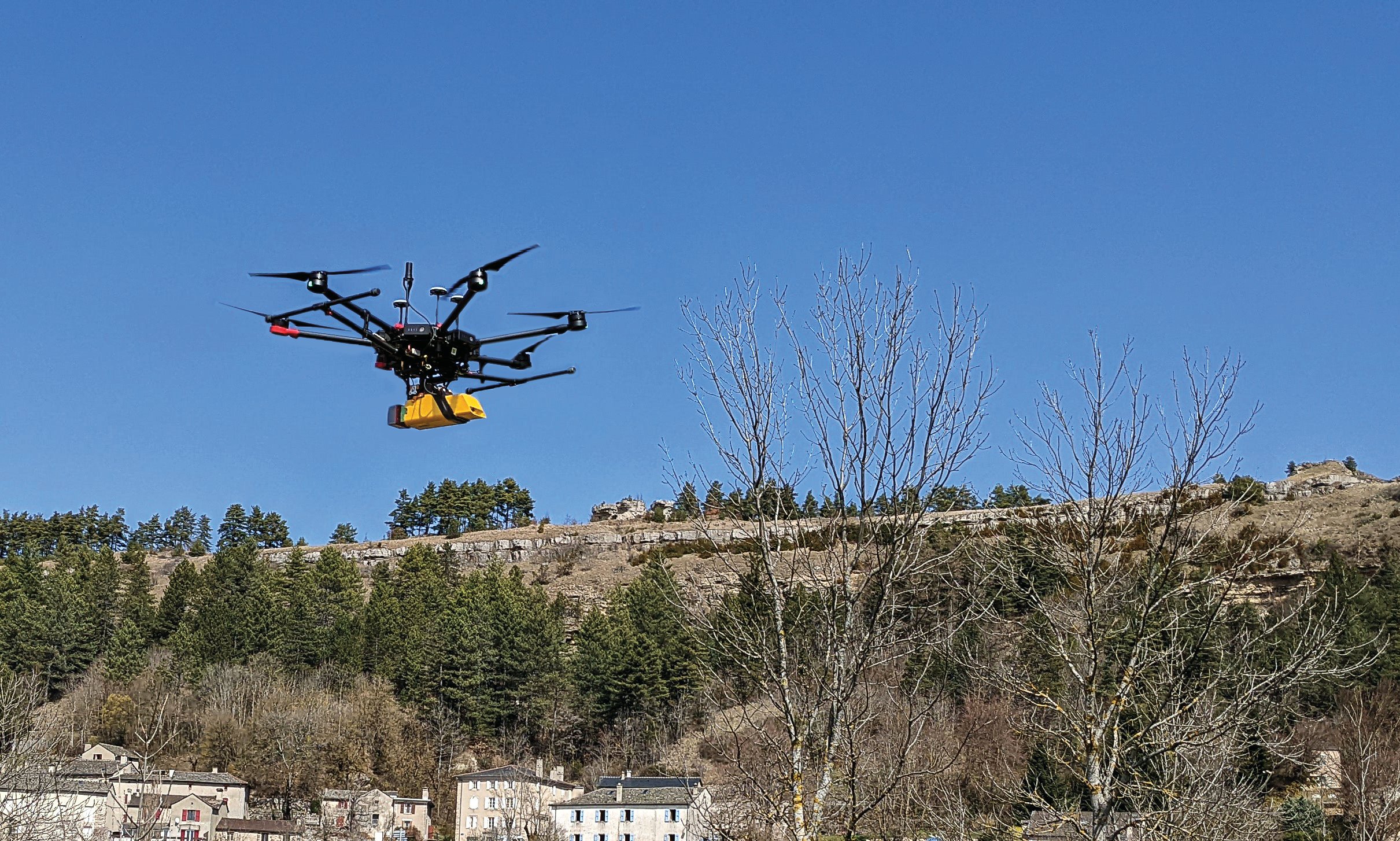
L’avion jaune, a French UAV and aerial photogrammetry company, uses the Trimble Applanix APX-20 UAV GNSS-inertial OEM solution and a YellowScan VX-20 lidar on its M600 multirotor UAV. (Image: L’Avion Jaune)

Trimble Applanix: Unmanned aerial vehicles aid survey efforts

April 10, 2023

Image: TommL/E+/Getty Images

Pilot project analyzes climate change for Caribbean nations 

March 13, 2023

View from Mason Dixon Stone #95 looking toward Maryland (Image: Tim Burch)

Mapping the original stones along the Mason-Dixon line

May 4, 2022

Image: Virtual Surveyor

V6 of Virtual Surveyor provides streamlined workflows with drones

July 16, 2018

Image: GPS World

Topcon's new ES series total station has advanced data-transfer functionality

January 25, 2017

This article is tagged with , , , , and posted in GIS News, Mapping