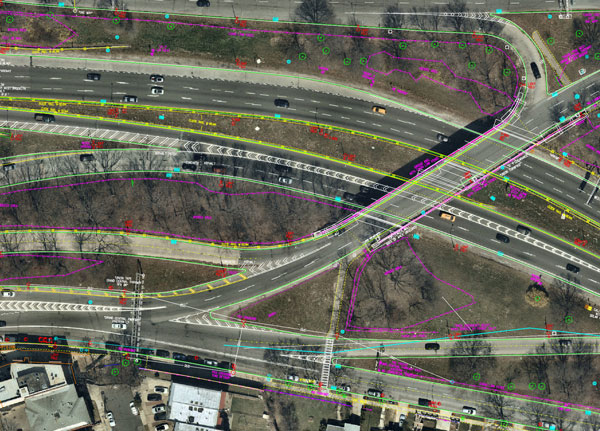
AEC firms use aerial mapping to share infrastructure funding
March 10, 2022
Aerial mapping provides a competitive advantage for AEC companies to win their fair share of the $17 billion infrastructure bill.
Read More
Aerial mapping provides a competitive advantage for AEC companies to win their fair share of the $17 billion infrastructure bill.

Aerial mapping provides a competitive advantage for AEC companies to win their fair share of the $17 billion infrastructure bill.
The NEXTMap Elevation Data Suite from Intermap Technologies is now offered on the UP42 developer platform for Earth […]

SimActive Inc., developer of photogrammetry software Correlator3D, has partnered with Midwest Aerial to perform damage assessments of Hurricane […]
SimActive has updated its Correlator3D end-to-end photogrammetry software to include tools for users to generate precise statistics on […]

TCarta, a global provider of marine geospatial products, has delivered pre- and post-disaster surface models for the Caribbean […]

SimActive Inc., a developer of photogrammetry software, is offering a new free data-processing service using Correlator3D. New users […]
Follow Us