Q-CTRL, Australia’s Department of Defence partner for quantum-assured navigation
July 23, 2023
Q-CTRL, a quantum technologies company, has partnered with Australia’s Department of Defence to develop quantum sensors that […]
Read More

Q-CTRL, a quantum technologies company, has partnered with Australia’s Department of Defence to develop quantum sensors that […]

Inmarsat has partnered with Australia and New Zealand to deliver the Southern Positioning Augmentation Network (SouthPAN).

GPS plays a quiet, but integral role in F1 racing. In a sport where split-second reactions are vital, GPS helps drivers and their teams to improve race to race and navigate tracks safely.

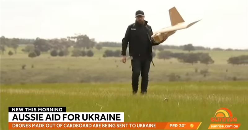
A couple of war in Ukraine unmanned air vehicle (UAV) stories and a response to the recent Open Letter by “Future of Life Institute” with over 200,000 signatures on advanced artificial intelligence (AI), which urged a six-month moratorium to allow the development of seemingly much needed AI regulations.

For precision agriculture, GNSS integrity can mean the difference between, say, a robot protecting a vineyard by weeding and spraying pesticides or damaging it by straying onto the vines.

Some airlines and military aircraft, including the Australian commercial airline Qantas, are receiving radio interference and GPS jamming from alleged Chinese warships in the Asia Pacific

The University of New South Wales has developed an advanced GNSS receiver that can receive signals from GPS and Galileo satellites across multiple frequencies.

On Jan. 5, DroneShield announced the completion of its Defense Innovation Hub project. This project resulted in improvements […]
Follow Us