
SimActive software enhances utility mapping
March 24, 2023
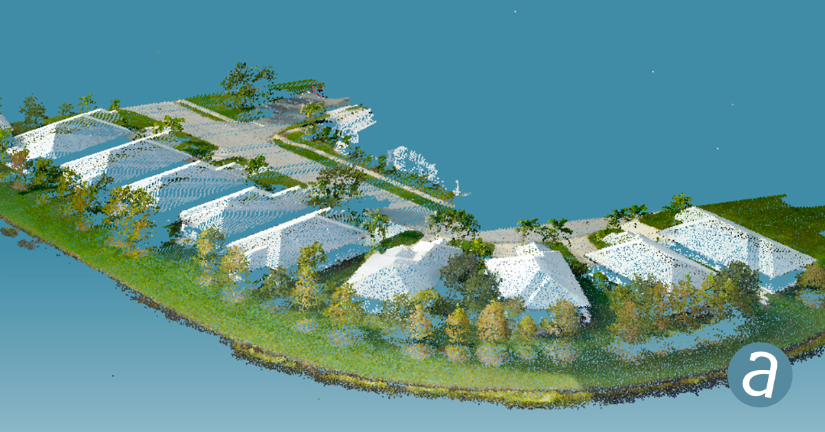
Sharper Shape has used SimActive software’s distributed processing capabilities to complete utility corridor base maps in Montreal, Canada.
Read More
Sharper Shape has used SimActive software’s distributed processing capabilities to complete utility corridor base maps in Montreal, Canada.
SimActive Inc., a developer of photogrammetry software, has integrated its Correlator3D product into lidar systems for drones developed […]
SimActive has launched version 8.5 of its Correlator3D mapping software. According to the company, this new version users […]
SimActive’s Correlator3D software is being used by by Dutch company NEO B.V. to assess solar potential in multiple […]
SimActive Inc., a developer of photogrammetry software, released an enhanced workflow in Correlator3D to accelerate stockpile measurement. The […]

SimActive Inc., a developer of photogrammetry software, announces that its Correlator3D software has been used by Air Data […]
SimActive Inc., a developer of photogrammetry software, announced that Correlator3D is being used for mapping projects in Brittany, […]
Photogrammetry software Correlator3D was used for a large-scale project by First Base Solutions, announced software developer SimActive Inc. The software […]


Follow Us