
Satellite imagery released in response to Libya flooding
September 25, 2023
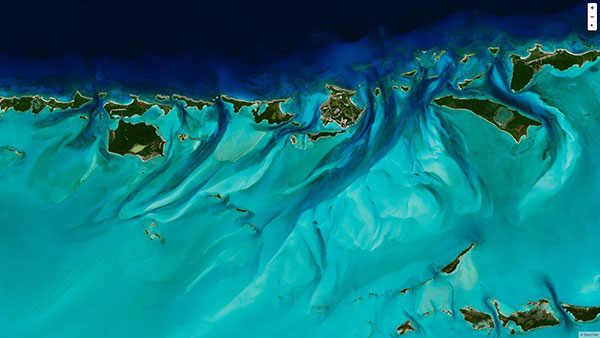
Floodwaters overpowered dams and wiped out entire neighborhoods in eastern Libya, taking the lives of thousands of people and displacing more than 40,000 people
Read More
Floodwaters overpowered dams and wiped out entire neighborhoods in eastern Libya, taking the lives of thousands of people and displacing more than 40,000 people

Maxar Technologies shared via Twitter satellite imagery from the aftermath of the train derailment and explosion in East Palestine, Ohio.

The agreement will enable direct access to Xplore’s satellite tasking and archive of high-resolution data Xplore Inc., a […]

A roundup of recent products in the GNSS and inertial positioning industry from the November 2022 issue of GPS World magazine.

Orbital Insight will integrate Satellogic’s high-resolution multispectral imagery, hyperspectral imagery, and full-motion video into its GEOINT platform Geospatial […]
MapTiler has created a single image of the entire world detailed enough to find a specific house. If […]
Deal makes data from 40 Chinese satellites available through UP42 now, another 40 by late 2021 UP42 has […]
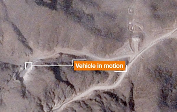
A team with Stanford University’s Center for International Security and Cooperation (CISAC) used BlackSky’s geospatial imagery and burst […]


Follow Us