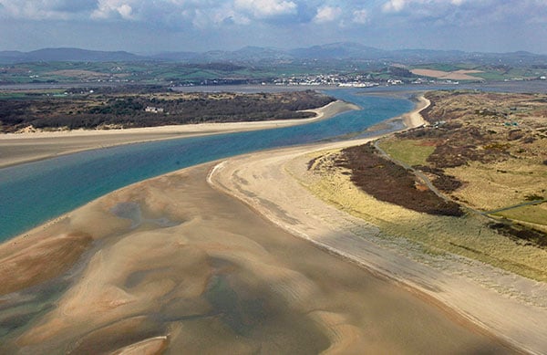
Bluesky to create 3D map of Northern Ireland’s coastline
February 8, 2021
Bluesky International will use aircraft-mounted lidar sensors and laser scanners to create a highly detailed 3D map of […]
Read More

Bluesky International will use aircraft-mounted lidar sensors and laser scanners to create a highly detailed 3D map of […]
Follow Us