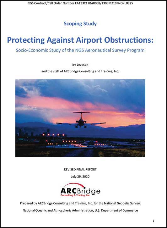
New NGS study examines GIS surveys for airports
A new study for the National Geodetic Survey (NGS) reviews and validates airport surveys from a safety perspective.
The study, “Protecting Against Airport Obstructions: Socio-Economic Study of the NGS Aeronautical Survey Program,” is by Irv Leveson and the staff of ARCBridge Consulting and Training Inc.
Goals of the scoping study are to:
- provide a better understanding of the activity, uses, users and broader beneficiaries of the National Geodetic Survey’s Aeronautical Survey Program,
- help define its socio-economic benefits,
- provide preliminary order of magnitude estimates of benefits of the program, and
- examine influences on future needs for the program’s services.
The footprint (trade space) analysis presents data on airport improvement grants, activities of the program, airports, aviation and societal beneficiaries. Methods of estimating socio-economic benefits are considered, preliminary estimates of benefits are made and issues that will affect use of the services in the future are discussed. Additional information is included in 10 appendices.
The FAA Airport Improvement Program (AIP) provides grants, to public agencies for planning and development of the 3,249 eligible public-use airports and the 72 privately owned civil airports.
The FAA requires that geographic information system (GIS) contractors submit plans and surveys with geodetic control, runway, navigational aid, obstruction and other aeronautical data under its Airports GIS (AGIS) program. These contracted survey plans and surveys are sent to the NGS Aeronautical Survey Program (ASP) for quality assurance review.
The GIS information is used by the FAA in establishing flight rules and other requirements to assure safety.
Irv Leveson is an economist with extensive experience examining GNSS markets, applications, benefits and policies. His public studies include: “The Economic Benefits of GPS.” He recently led a National Geodetic Survey study.


Follow Us