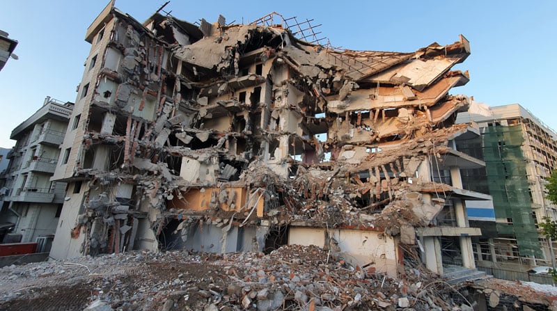
GMV assesses Turkiye earthquake impact
February 23, 2023
GMV is using high-resolution optical imagery to map the population and infrastructure of several cities in Turkiye after the 7.8 magnitude earthquake.
Read More

GMV is using high-resolution optical imagery to map the population and infrastructure of several cities in Turkiye after the 7.8 magnitude earthquake.

OEMs’ Global Economic Outlook There’s a saying that “Time stops everything from happening at once” — but what if […]

As part of the Open Geospatial Consortium’s (OGC) Testbed 13, the OGC is requesting information to identify, assess […]

Smartphone users now have access to Field Notes—Earth, a new mobile app from Esri that employs the power […]

Esri announced that the Strauss Center’s Climate Change and African Political Stability (CCAPS) program has implemented Esri technology to view how climate change impacts vulnerable populations in Africa. CCAPS created the dynamic mapping tool in partnership with AidData for use by researchers, policy makers, journalists, and citizens.
Follow Us