
GMV assesses Turkiye earthquake impact
February 23, 2023
GMV is using high-resolution optical imagery to map the population and infrastructure of several cities in Turkiye after the 7.8 magnitude earthquake.
Read More
GMV is using high-resolution optical imagery to map the population and infrastructure of several cities in Turkiye after the 7.8 magnitude earthquake.

The Copernicus Precise Orbit Determination (CPOD) Service, in charge of computing precise orbits for the Copernicus Sentinel-1, -2, […]
Europe’s 2nd Horizon Europe call has been launched for European GNSS, Galileo and Earth observation projects, offering total […]
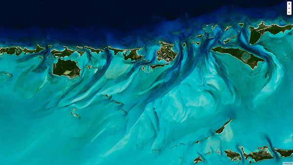
MapTiler has created a single image of the entire world detailed enough to find a specific house. If […]

The European Space Agency (ESA) and National Aeronautics and Space Administration (NASA) have publicly released a globally harmonized […]

A new space agency launched in Europe today, taking the place of the European GNSS Agency (GSA) and […]

News from the European GNSS Agency The European GNSS Agency (GSA) has released its latest GNSS User Technology Report, […]
The European GNSS Agency (GSA), in collaboration with the Council of European Geodetic Surveyors (CLGE), has launched the […]


Follow Us