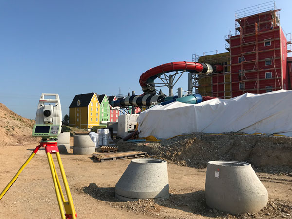
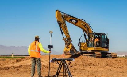
February 28, 2022 Building with precision: Surveying for architecture, engineering & construction By Matteo Luccio
February 25, 2022 Leica Geosystems: The surveyor as a data manager By Richard Ostridge and Shane O’Regan
December 17, 2020 Leica Geosystems launches one app for terrestrial laser scanning portfolio By Allison Kral
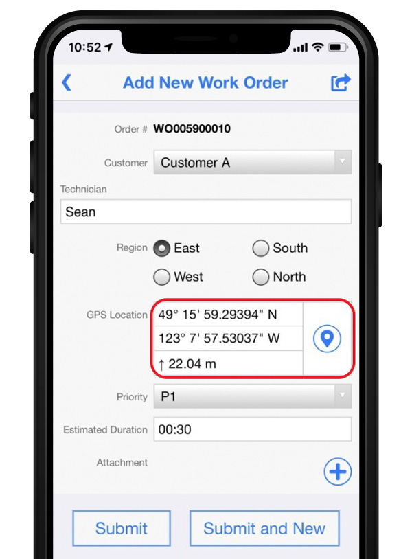
October 24, 2019 Flowfinity and Leica Geosystems streamline high-precision GNSS data collection workflows By Tracy Cozzens