No audio available for this content.
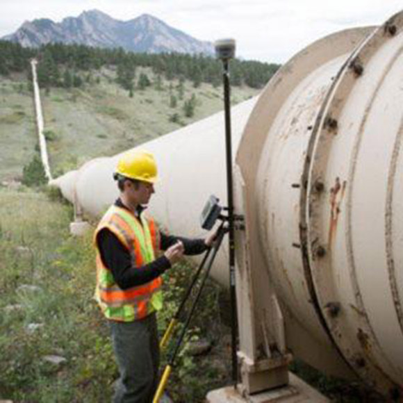
Trimble has expanded its CenterPoint RTX Fast GNSS correction service coverage area in North America.
Additional states and provinces now covered by Trimble RTX Fast include Alabama, California, Florida, Georgia, Michigan, Mississippi, New Mexico, North Carolina, Ohio, Oregon, South Carolina and Washington, and Alberta and Ontario Canada.
View the full coverage map.
Trimble RTX Fast reduces convergence time, allowing customers to achieve horizontal positioning accuracy of better than one inch (2 centimeters), in as fast as one minute.
Now, with CenterPoint RTX more farmers, surveyors, GIS professionals and construction contractors can experience the RTK-level accuracy of traditional cellular-based Virtual Reference Station (VRS) networks, while benefiting from the versatility of a satellite-delivered correction service, Trimble said.
“Trimble RTX technology has continually evolved since its launch in 2011 with improving accuracy and reduced convergence times,” said Patricia Boothe, vice president of Trimble’s Advanced Positioning Division. “This network expansion demonstrates our commitment to bringing the market-leading performance of Trimble RTX Fast to more users, in more geographies around the world.”
Trimble’s RTX network is currently available throughout most of the world, with the RTX-Fast network coverage available in select geographies in the U.S., Canada and throughout most of Europe, when using Trimble RTX compatible GNSS receivers. Subscriptions are available through Trimble’s Authorized Business Partners or Trimble’s online store.


