Increasing GNSS interference: UK and EU warn aviation
April 11, 2023
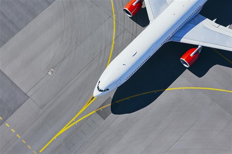
The European Union Aviation Safety Agency and the United Kingdom’s Civil Aviation Authority have released safety information bulletins about GNSS spoofing.
Read More

When the U.S. Air Force shot down a Chinese balloon on Feb. 4, raising many questions about international security, international law, U.S.-China relations and technology.

UNOSAT announced via Twitter that it had activated emergency mapping services of Turkey and northern Syria after the magnitude 7.8 earthquake hit.

By Dana A. Goward Earlier this month, the International Telecommunication Union (ITU) issued a circular urging its member […]

Responding to a plea from 14 maritime organizations in the fall of 2019, the U.S. Coast Guard has […]

Letter signed to advance role of geospatial knowledge infrastructure in global society and economy Geospatial Media & Communications […]

Letter signed to advance role of geospatial knowledge infrastructure in global society and economy Geospatial Media & Communications […]
Boundless is partnering with the United Nations (UN) to support the UN Open GIS Initiative, which aids UN […]
Follow Us