
USVs study hurricanes with the NOAA
July 11, 2023
Saildrone is deploying 12 uncrewed surface vehicles (USV) into the tropical Atlantic and Gulf of Mexico this summer supporting the research by the NOAA.
Read More

Saildrone is deploying 12 uncrewed surface vehicles (USV) into the tropical Atlantic and Gulf of Mexico this summer supporting the research by the NOAA.

Smoke from the Canadian wildfires continues to pollute the air across the United States, mainly affecting cities in […]
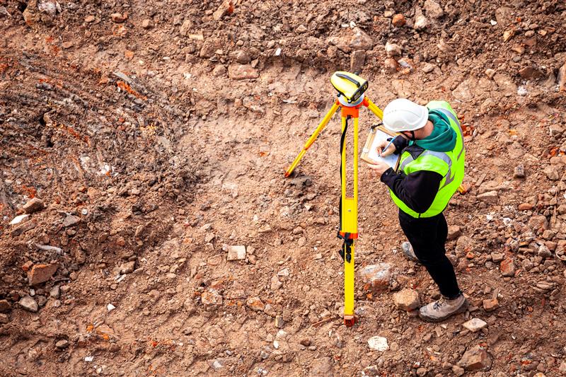
In this month’s Insights column, Dave Zilkoski dives into the various methods of support that can be provided for the science of geodesy and surveying.

In January 2022, Mike Bevis and others prepared a white paper titled “The Geodesy Crisis,” documenting the concern about the lack of trained geodesists.
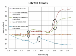
This column focuses on potential errors in orthometric heights using a digital barcode leveling system with multi-piece leveling rods. Every business makes decisions based on expenses and ultimately on the profit margin.

“Seen & Heard” is a monthly feature of GPS World magazine, traveling the world to capture interesting and […]
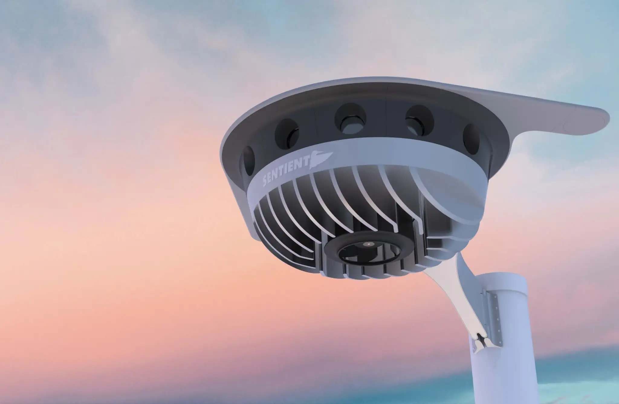
Plus: Visual AI radar aids drone searches, and a drone is released into Hurricane Ian Just when you […]
Follow Us