Listen to this content
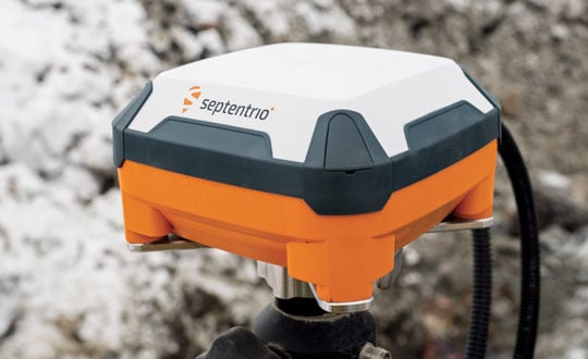
Septentrio’s AntaRx GNSS smart antenna — a box containing a receiver, an antenna and supporting electronics — is designed for machine automation and control in construction, precision agriculture and logistics. The smart antenna is enclosed in a rugged and compact housing for simplified installation. It can handle strong shocks and vibrations, which makes it ideal for harsh industrial environments such as construction and mining.
From the early stages of the product’s design and development process, Septentrio collaborated with a leading heavy construction machinery OEM, which provided feedback that helped improve the product’s specifications.
I discussed the use of AntaRx for machine control with Silviu Taujan and Danilo Sabbatini, both product managers for the product — the former with a focus on the machine automation market and the latter with a focus on INS.
What type of customers were you addressing?
Taujan: Mainly OEMs and integrators for machine control systems looking for a GNSS receiver with this kind of form factor to build into their control, automation or guidance systems.
A smart antenna is easy to install on various machines, correct?
Taujan: Yes. It saves space and the cabling is much simpler. We have a single rugged connector for power and data. Our latest generation of GNSS boards has dual antenna support. You can deploy one smart antenna and feed an auxiliary antenna — the AntaRx-AUX — into it for dual antenna heading capability.
Where does the INS come in?
Sabbatini: The GNSS/INS version is the AntaRx-Si3. It has an industrial-grade IMU that gives very high quality sensor fusion to bridge gaps in GNSS or correction signals. It also provides accurate attitude — pitch, roll and heading. We use this INS mostly for applications that require full 3D attitude, and for integrity and availability. It is built for one minute without GNSS.
Does all the processing happen inside the box?
Sabbatini: The output is a 100 Hz fused position. It will be fused by default to GNSS, plus IMU. The system can also accept the platform’s velocity as an extra input for sensor fusion. The output can include the raw GNSS position, the GNSS-only position and the raw IMU data.
What are some use cases?
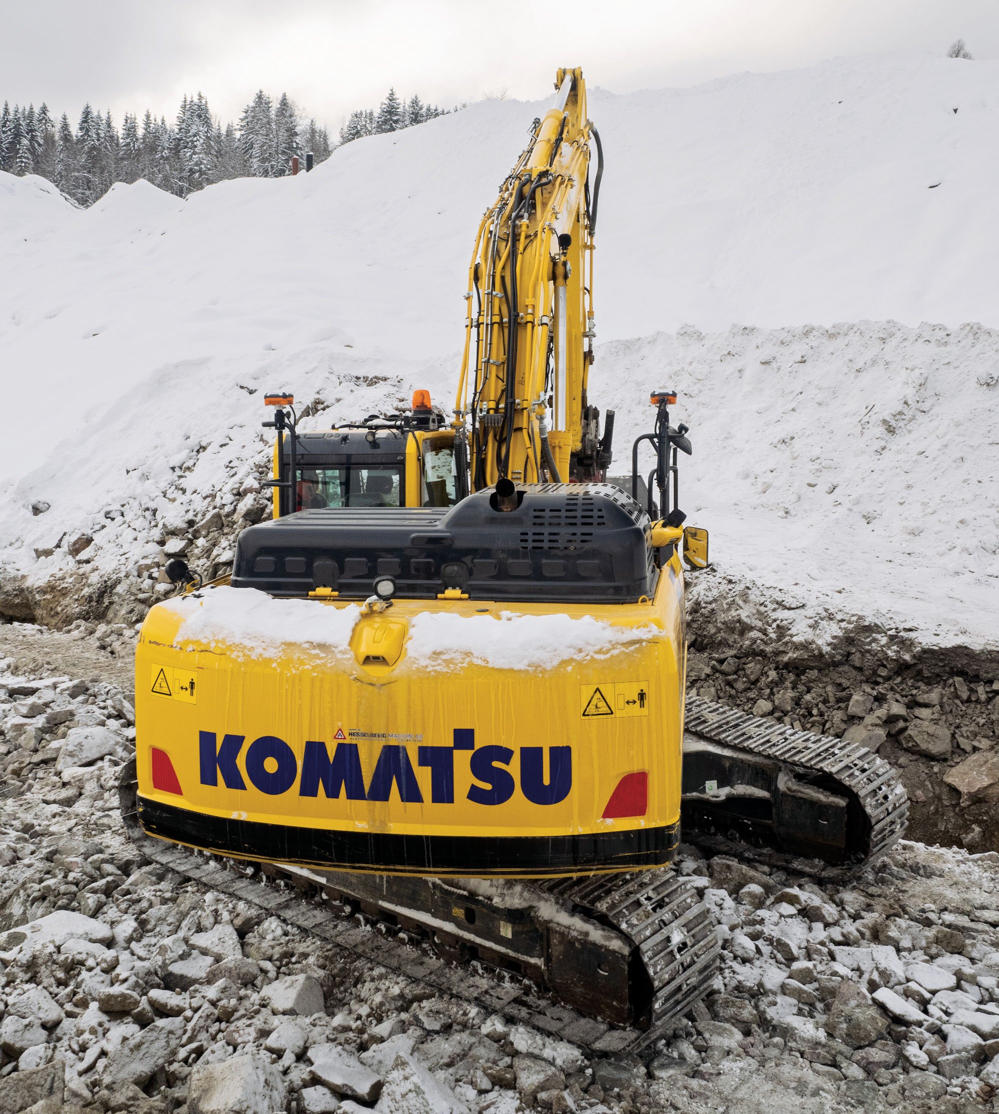
Sabbatini: For INS, the most important use case is precision agriculture. For many ag robots, a smart antenna is the form factor of choice and most of them require INS sensor fusion. This INS product is the easiest to integrate because everything is fused inside the enclosure. Also, compared to other form factors, the customers do not need to worry about the lever arm between the antenna and the IMU because it’s inside the box, so it’s already taken into account. So, this form factor eliminates all the installation problems inherent to an INS system. The German company Sodex is creating a real time mapping system to install on top of machine controls. Another application is for users who want to close gaps in signals, especially in smaller machines that are going more often between buildings and close to structures.
Taujan: For the version without INS, we’re looking at the more mainstream machine control customers and applications. Even from the conceptual phase of this, we started by engaging with some customers, including one large OEM in the Asian excavator market. Then, from the aftermarket or integrator side, one machine control integrator integrated it into a system for asphalt pavers. These are not yet commercially available systems, but we’re in the development phase with them.


