Listen to this content
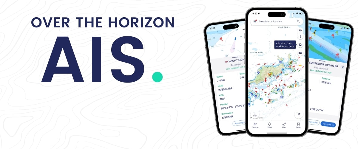
savvy navvy has released Over the Horizon (OHA) automatic identification systems (AIS) in its latest mobile application update. OHA uses a phone’s internet connection to stream other vessels’ locations in real-time directly to the app to improve safety on the water.
Traditional AIS received from the transceiver on the boat has a range of a few miles, whereas OHA is designed to show vessels further afield. While OHA does require an internet connection, users do not need additional hardware to see information on vessel movements.
“Not all boaters have AIS hardware on their boats,” said says Jelte Liebrand, founder and CEO of savvy navvy. “A recent study found that depending on the vessel type, 30% of boaters, and in some cases even as much as 75%, do not own AIS transceivers. But all these boaters could benefit from OHA AIS to be able to see what’s around them and stay safe.”
OHA AIS allows savvy navvy users to see vessels directly on the chart with small and large vessel crafts defined by different colors. Users can also check how crowded the anchorage might be — either from onboard or while planning routes at home.
The savvy navvy app highlights when no position has been received for more than 30 seconds, which marks the positional variance area around each vessel and allows users to be extra vigilant when navigating.
Available on Android, IOS, PC and Mac, the savvy navvy app can be used on multiple devices and is available in both free and “premium” options with enhanced access and functionalities.


