Remembering U.S. history by mapping internment camp with UAV
It has been 78 years since 110,000 Japanese-Americans were forcibly interned in 10 camps across the United States.
In 1942, President Franklin Roosevelt signed an executive order announcing their internment. When World War II ended in 1945, the 10 camps were unceremoniously abandoned. The people interned there, their descendants, and historical groups are now trying to preserve memory of the camps.
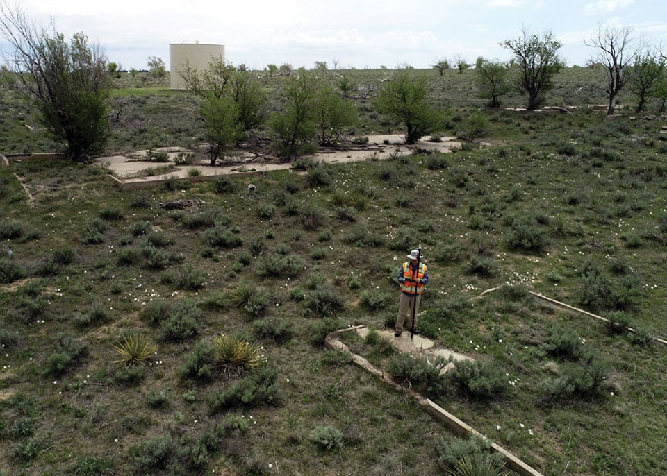
A new Esri StoryMap from Eos Positioning Systems explores the stories of two men whose lives were connected by Amache Internment Camp in southeastern Colorado.
In the first chapters, we meet Dennis Otsuji, a renowned landscape architect who was born at Amache in 1943. Then we meet Jim Casey, GIS user and philanthropist on a quest to preserve Amache. Besides using Esri ArcGIS Online tools, Casey used the Arrow Gold GNSS receiver from Eos Positioning Systems for ground control points.
In an unlikely story twist, Otsuji and Casey happened to meet when Otsuji went searching for his past, just as Casey was working to preserve the past. The StoryMap ends with the first augmented-reality look at Amache.
The project — selected for Esri Favorite Stories of 2020 — was 10 years in the making. Learn more at Mapping Amache.


Follow Us