Remembering all fixes for verification

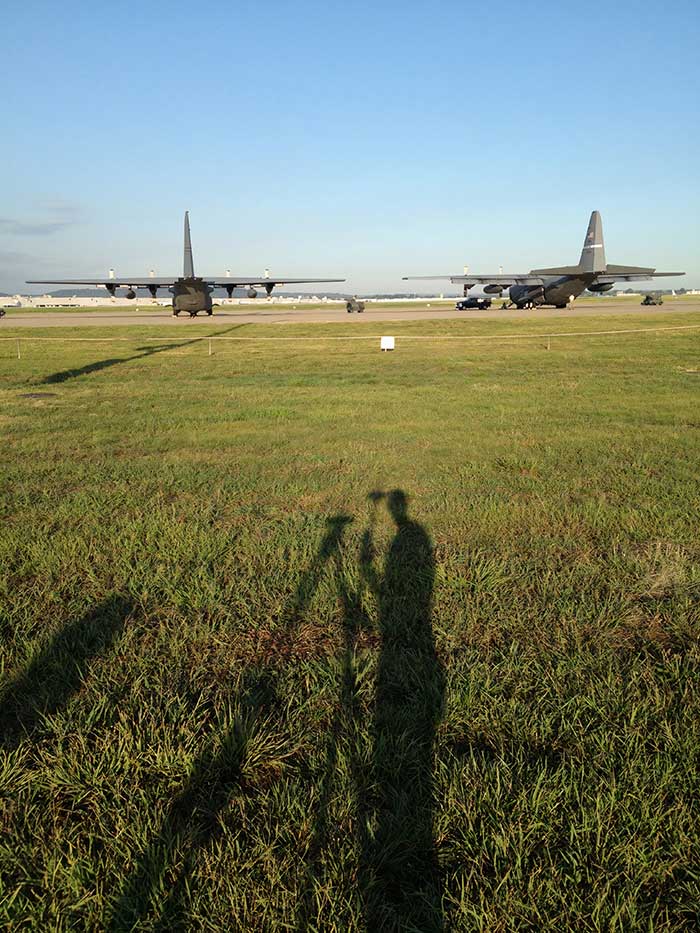
Helping the guard: For the Kentucky Air National Guard, Sibole surveyed for paint lines on the taxiway for C-130 aircraft. (Photo: Matt Sibole)
Like Adam Plumley, Matt Sibole is also a solo surveyor and a Javad GNSS advocate. Based in Kentucky, Sibole tackles up to 140 jobs a year, which he would be unable to do using only a total station or a robotic station. Instead, he relies on the accuracy of GNSS.
He particularly relies on J-Field, the Javad GNSS data-collection software. When using the software’s “Boundary Profile” feature, he can get a fix, then re-initialize and get another fix that he can then compare in real time to the previous fix.
“J-Field keeps all fixes in memory to compare to each other, until you get a group of fixes that agree with each other to verify which fix is the correct fix,” Sibole explained. “We all know that a fix is not necessarily the ‘right’ fix. Javad’s J-Field program will give the user the confidence to know in real time that the shot is correct.”
“J-Field also has a relative accuracy calculator built in to verify that I meet minimum standards in the field before I leave the site,” Sibole said.


Follow Us