Listen to this content
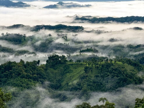
A government-sponsored survey has set out to find the highest peak in Bangladesh. Field teams for the Survey department under the Ministry of Defense have begun field work in the remote hill areas of Ruma and Thanchi upazilas in Bandarban district.
The survey, taking place April 4-12, will use modern geodetic methods and advanced GNSS technology. The surveyors will follow international standards to determine the height of the country’s highest peak above mean sea level (MSL) with centimeter-level accuracy, including latitude, longitude, and elevation.
Through the use of a newly developed geoid model, it will be possible to accurately convert ellipsoid heights obtained from GNSS receivers into mean sea level (MSL) elevations of the mountain peaks, according to the government.
The survey is expected to resolve the long-standing debate over whether Tajingdong, Keokradong or Saka Haphong is the country’s highest mountain peak.