No audio available for this content.
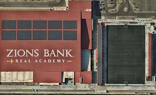
High-resolution aerial maps from NearMap are helping Auric Solar, a residential and commercial solar power provider, accelerate its initial site assessments, develop a more complete and accurate view of properties, and create winning proposals.
Auric accesses Nearmap imagery through the Aurora Solar platform, a solar sales and design software program. By utilizing Aurora software integrated with Nearmap imagery, Auric analysts have access to clear and current imagery. Headquartered in Salt Lake City, Utah, Auric services all of Utah, Idaho, Colorado and Oregon.
“Aurora’s responsive engineering interface coupled with Nearmap’s high-resolution captures allow us to use a combination of 3-D lidar models and 2-D high-resolution maps for complete accuracy in the planning and measuring stage of a project. This equips both the sales and analytics teams with accurate information to save time, money and serve the customer,” said Tyler Soukup, director of analytics at Auric Solar.
Analysts can make accurate measurements, run production numbers, identify roof obstructions and craft proposals all within the program. The sales team, analysts and installers are all on the same page, significantly reducing change orders.
The absolute horizontal accuracy of Nearmap’s georeferenced imagery is 0.75m (RMSE) or better. Measurements taken with Nearmap measurement tools are accurate to within 15cm for an individual photo. The company’s HyperCamera aerial photography system captures overlapping photographs along a flight path covering a survey area. Each photograph is tagged with its GPS location. Proprietary HyperVision technology then triangulates, orthorectifies and stitches these GPS-tagged photographs into a georeferenced photomap with an absolute horizontal accuracy of 0.75m (RMSE) and relative accuracy of 15cm. The process employs a combination of GPS positioning, high photo redundancy and triangulation of ground features to ensure this level of accuracy without the use of ground control points.
Solar panel installer Auric also has access to Nearmap historical imagery from years past, including leaf-on and leaf-off imagery, which presents the presence or lack of the foliage depending on the season. This greatly enhances shading analysis, making it easier to place the panels for maximum sun exposure. The company not only saves a significant amount of time with fewer onsite visits to qualify homes, but it also opens up more customers to solar.
“We’ve been able to qualify more customers than ever because of Nearmap’s clear, current captures. You really can’t accurately qualify a property without up-to-date imagery,” notes Soukup. “We quote projects from $20,000 to a few million dollars, and our proposals, plans and marketing materials should match that level of value. Nearmap helps us create a ‘wow’ factor.”
Before using Nearmap aerial imagery, Auric used using low-resolution satellite imagery to qualify properties. With outdated, blurry imagery, it was difficult to make accurate measurements and qualify a home before sending a technician for an on-site assessment.


