No audio available for this content.
Mosaic, a geospatial imaging company, announced that its new Mosaic X high-resolution, spherical camera is now compatible with RIEGL’s mobile mapping systems.
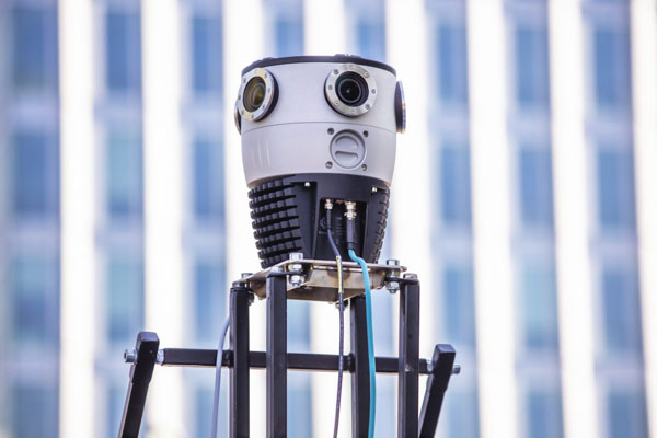
The development of the Mosaic X focused on delivering a high-resolution, global-shutter, 360-degree camera with precise GNSS time stamping to achieve extreme visual clarity and accuracy at once. These qualities fit the requirements to be integrated with mobile laser scanning systems such as the RIEGL VMX, VMQ and VMY series.
Mobile mapping has uses across many industries and sectors, including private and public organizations. The two most consistent demands when mapping infrastructures are high-resolution, photo-realistic imagery and highly accurate data. Cameras such as the Mosaic 51 and Mosaic X capture road infrastructure with photo-realistic accuracy, which is more understandable to the human eye than a point cloud from a laser scanner.
“The pairing between 360-degree imaging systems and mobile laser scanning systems results in high precision LiDAR-based point clouds, colorized by photo-realistic images,” says Mosaic co-founder and VP of engineering, Rostislav Lisovy. “This outcome will then have the benefit of both a precise point cloud and panoramic images – for precise measurements and evaluation of textures.”
The push for sensor integration came from the customers, Mosaic CEO and co-founder Jeffrey Martin states. “We have had many requests from our customers who are looking to use RIEGL and Mosaic products in unison. The Mosaic X impresses with high-resolution panorama images and offers precisely time-stamped single-lens imagery for the purpose of point cloud coloring as well as the generation of undistorted, geo-referenced high-resolution imagery with 12 [megapixels] per lens.”


