No audio available for this content.
What was Northrop Grumman’s GPS Origin Story?
Northrop Grumman’s involvement with GPS has its origins during the mid-1980s, when we became an early adopter. We applied our prior decades of technical expertise in defense and commercial navigation solutions to recognize the significance of GPS as an emerging technology to optimize our inertial navigation products. The first GPS receiver was integrated with the LN-33, our main product for military aircraft, in 1987.
Around the same time, our engineers began to develop an indigenous civil GPS receiver to complement our inertial navigator for use in commercial airliners. This resulted in the certification and fielding of the LTN-2001 product, an eight channel C/A Code GPS receiver. This receiver, in concert with our Autonomous Integrity Monitored Extrapolation (AIME) algorithm, provided our customers a first-ever sole means navigation system using GPS/inertial for non-precision approach.
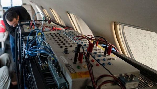
By the early 1990s, advancements in the semiconductor industry facilitated the reduction of the GPS receiver from a 1,000 cu in stand-alone box to a roughly 6-in by 6-in circuit card. This critical milestone allowed GPS to be embedded into an inertial navigation system (INS) without a significant increase in its size or power consumption and thereby the ubiquitous Embedded GPS INS (EGI) was born. Our first inertial navigation system with embedded military GPS capability was the LN-100G in 1991. This standard form factor was produced across the industry with installations on virtually all the front-line tactical aircraft and rotorcraft for the U.S. Department of Defense (DOD) and many of our allies.
Can you share a breakthrough?
Inspired by accomplishments in the survey community, our team conducted early location accuracy experiments to demonstrate a few decimeters of accuracy between our Woodland Hills, California, location and a facility in San Jose, California, about 500 km away. Leveraging this experience and the same signal processing, our teams became a broader solution provider for adjacent mission applications including precise formation flying for in-flight automated refueling, precision approach and landing, and decimeter-level positioning for the intelligence, surveillance and reconnaissance (ISR) community.

In parallel with these developments, Northrop Grumman, in partnership with the Defense Advanced Research Projects Agency (DARPA), improved the resilience of embedded GPS receivers with a more intimate coupling of INS and GPS. The DARPA GPS Guidance Package (GGP) program demonstrated a Navigation Grade Fiber Optic Gyro (FOG), greatly improved GPS tracking performance under extreme vehicle dynamics, and the ability to track at lower signal-to-noise levels. Our success on this program reinforced our reputation as a GPS integration leader and led to the introduction of Northrop Grumman’s current LN-251 product line, which is broadly used in tactical military aircraft.
In the early 2000s, Northrop Grumman initiated research into the feasibility of a Global Navigation Satellite System (GNSS) software-defined radio and started development of what we now call SERGEANT (Software Enabled Reconfigurable GNSS Embedded Architecture for Navigation and Timing). The company used Spirent signal simulators to evaluate proper GPS M-code tracking over a wide range of test cases in a controlled laboratory environment. Together with the Air Force Research Laboratory (AFRL), Northrop Grumman demonstrated advanced receiver capabilities using SERGEANT starting in 2010. In 2018, AFRL used SERGEANT for the first real-time flight demonstration of a GPS M-code SDR.
How is your company preparing for the next 50 years of PNT with GPS and beyond?

Northrop Grumman foresees the world of GNSS being dramatically influenced by the emergence of alternative radio navigation sources as augmentations to traditional GNSS constellations to provide additional robustness and resilience. Our PNT SDR technology is a foundational tool to integrate these emerging radio navigation signals quickly and accelerate deployment to our customers.
Northrop Grumman has led medium-Earth orbit (MEO) and low-Earth orbit (LEO) PNT technology studies through the DARPA Blackjack proliferated LEO (pLEO) program, starting in 2017. Northrop Grumman’s SERGEANT SDR transceiver is currently being integrated for use in emerging pLEO constellations. We anticipate that these capabilities, as well as emerging cooperative radio navigation signals, will become a critical part of the next 50 years of PNT with GPS.


