Listen to this content
GNSS users who appreciate that physical monuments can provide verification of GNSS observations can do four things to preserve those monuments and make them more accessible. References below are to U.S. national agencies, but most countries have equivalent agencies.
- Install a valve box over each buried control point recovered or set, whether the point is for boundary or geodetic surveying. Include National Geodetic Survey (NGS) deep-rod marks that have a buried logo cap.
- Advocate with the Secretary of the Interior and United States Geological Survey (USGS) director that USGS scan its paper geodetic data sheets and post the scanned pdf files online.
- Adopt the geodetic marks in your area. Visit them. Keep them free of brush or other blockages. Maintain descriptions and photos up to date by submitting recovery notes to NGS as needed. Participate in the NGS GPS on Benchmarks program.
- Consider recovering all the marks in an NGS level line. Alternatively, all the USGS marks in a 15’ quadrangle, the geographic unit USGS uses to publish its geodetic data.

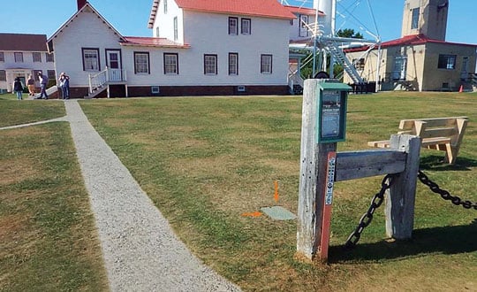
Regarding the first of these actions, a valve box is a utility standard. It identifies to non-surveyors that there is something under the box to which one should pay attention, thus increasing the mark’s chances of survival.
The box lid is generally obvious, eliminating or at least reducing the search time for surveyors, who only need to walk up to the box.
It replaces the soil that previously covered the mark, reducing excavation time. A surveyor only needs to open the lid and brush off the mark. Rectangular and round boxes in several sizes are available to accommodate different-sized monuments. While the time and materials to install a box may be an overhead cost to your company, it is well worth the investment.
Regarding the second of these actions, the positions and heights published for most USGS control marks are based on superseded datums. However, that old data can be useful for evaluating trends. The marks are usually stable and can be reused in new projects.
While NGS has observed some of these marks and published datasheets for them, they are by far the minority of all the USGS marks in the country.
There are thousands of these sheets, 50 shelf-feet of them, organized by 15’ quad. Some sheets, mainly in the East, have been scanned and put online by various state agencies or utility companies. The USGS Rolla office has scanned most of the eastern states but has not posted the files online.
Generally, a request for USGS geodetic data turns into a request for paper sheets, such as those shown in Figure 2, to be scanned and emailed. Putting them online would preserve this record of what it took to survey and map our country, allowing the marks to be tied into new control surveys.


