No audio available for this content.

New technologies use a variety of inputs to help ensure seamless navigation, even when GPS reception fails because of interference or jamming.
Honeywell has successfully demonstrated multiple alternate navigation technologies for military aircraft. These new products are intended to help ensure seamless navigation — even when GPS signals are blocked, interrupted or unavailable.
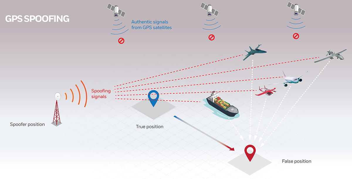
For military operations, GPS-jamming — intentional or not — can block vital signals from conveying critical information regarding positioning, navigation and timing (PNT). In these instances, it’s important for military vehicles and aircraft to be equipped with alternative navigation technologies, like celestial or vision navigation, to maintain operational readiness.
“For military operations, not having access to critical positioning and timing information can make or break a mission,” said Matt Picchetti, vice president and general manager, Navigation & Sensors, Honeywell Aerospace. “We’re very excited to roll out this robust lineup of alternate navigation solutions, which are specifically designed to address the needs of our military customers and give them the added layers of redundancy needed to successfully carry out their operations, even if they lose access to GPS signals.”
Alternate navigation technologies provide a different means of measuring position, velocity and heading when GPS is disrupted. These technologies include:
- Vision-aided navigation. This technology uses a live optical or infrared camera feed and compares it with maps to provide a passive, not jammable, highly accurate alternative PNT solution that provides GPS-like accuracy in GPS-denied or jammed conditions.
- Celestial-aided navigation. Honeywell’s celestial-aided navigation technology observes stars and “reference objects” orbiting the earth such as satellites, which have known positions and velocities. This technology compares those reference objects to stars and can determine position and velocity, the same way a GPS receiver can.
- Magnetic anomaly-aided navigation. This navigation technology measures magnetic strength using sensors and compares this data with known geographical magnetic maps to accurately identify the position of the aircraft relative to the Earth.
Prototypes of these alternate navigation systems will be available in 2022, with initial deliveries expected to start in 2023.
Honeywell navigation systems are used by nearly every aircraft flying to guide millions of passengers to their destinations. Since 1914 when the first autopilot used Honeywell gyroscopes to hold the plane stable during flight, Honeywell has delivered more than 500,000 high-performance inertial sensors across several platforms on land, in the air and at sea.