No audio available for this content.
In 1854, English physician John Snow mapped the London cholera epidemic to determine the exact location of a contaminated water pump on Broad Street, pioneering the use of location mapping and data to manage public health crises.
Today, governments and public health officials are utilizing location data to help fight the COVID-19 global pandemic. Location data and maps are at the frontlines to aid emergency responders and healthcare providers, while GIS professionals, data scientists and many others rely on maps and location data to allocate supplies, manpower and assets where they are needed most.
Data as a source of truth
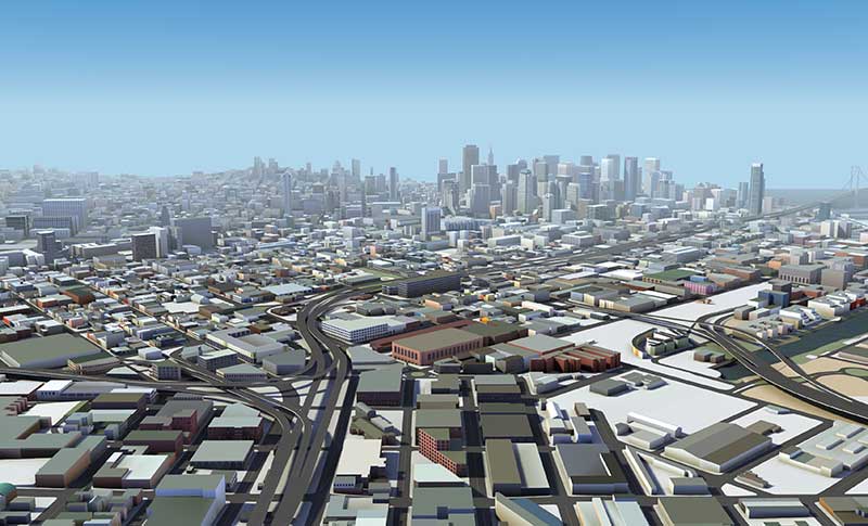
Location data has been one of the most valuable tools to guide crisis response. By referencing professionally managed, comprehensive geospatial databases, public health officials are able to precisely locate key medical and emergency resources, including hospitals, medical centers, medical and emergency services, pharmacies, and food and water distribution centers.
For example, the HERE location platform continually validates the freshness and features of its map through thousands of data sources. This includes field-collected data, third-party data from government sources, and crowdsourced data from expert communities. Taken together, the process rapidly delivers clear, timely location information to end-users such as key medical stakeholders.
It is critical that all levels of government — local, state and federal — have access to these types of valuable datasets during times of emergency. In response to the pandemic, we have seen incredible agility from facilities that have been converted to provide critical medical services.
For example, the Javits Center in New York City has been used as a field hospital, a sports facility has been converted into a drive-through testing center, and schools are being used to distribute food. By tracking these updates, authorities have real-time awareness of these facilities and their availability to provide services.
Use Case #1
Social distancing efficacy
At this stage of the pandemic, the Federal Emergency Management Agency has tapped into location data to track the efficacy of social distancing policies and the spread of the virus. It’s valuable to map the virus’s spread for many reasons, but a few key reasons include:
- Predicting the movement of COVID-19. By mapping the spread, we can proactively align the medical supply chain behind these predictions.
- Understanding the effectiveness of social distancing. Social distancing is one of the most powerful ways to stop the spread of the virus. By tracking the efficacy of these measures and regulations and ensuring that citizens are complying with shelter in place, we’re able to predict how we are able to slow or flatten the spread.
- Predicting the economic impact. As we consider reopening America for business, it’s important to understand where the virus is most prevalent, and the timeline for recovery.
Use Case #2
The strained medical supply chain
The coronavirus has caused strain across most industry supply chains, but most notably, the medical supply chain. Medical resources, including hospital beds, masks and life-saving ventilators have become scarce and unevenly distributed.
In times of crisis, with thousands of lives at stake and the potential for further economic fallout, it’s critical that public health officials are equipped with authoritative, comprehensive datasets to guide decision-making. When organizations are equipped with this valuable data, they can harness the power of location data for good and follow in the footsteps of the location data pioneer John Snow.


