No audio available for this content.
Tersus GNSS Inc. has released the Tersus GeoCaster, a Networked Transport of RTCM via Internet Protocol (NTRIP) caster software. The software expands the company’s product line and provides users with better and more comprehensive services.
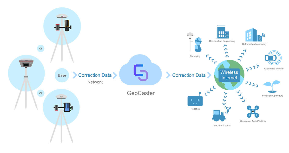
The Tersus NTRIP caster software is designed to allow GNSS correction data such as RTCM corrections to be repeated and sent to different end users via the internet.
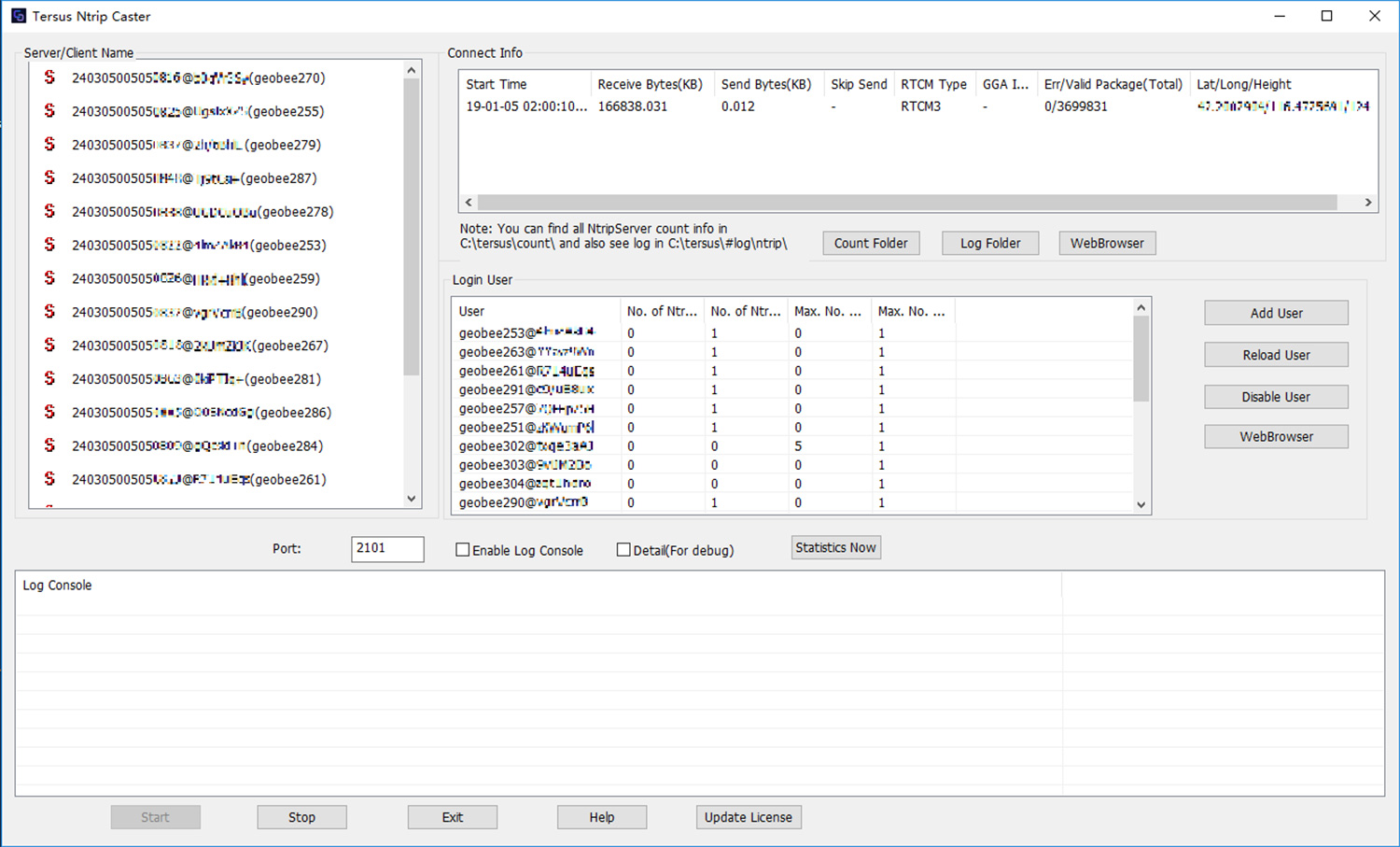
“GeoCaster has a user-friendly interface, and it not only supports multiple bases online simultaneously but also supports multiple rovers for one base,” said Xiaohua Wen, founder and CEO of Tersus GNSS Inc. “Our users can have a real-time review of detailed statistics and can modify user-defined permissions manually.”
Tersus GeoCaster supports configurable bases online simultaneously and configurable rovers for one base. GeoCaster supports NTRIP protocol and operates continuously.
The software is designed for end users involved in applications such as surveying, construction engineering, deformation monitoring, automated vehicle, precision agriculture, unmanned aerial vehicle, machine control and robotics.
This is the first release of GeoCaster. Version 2.0, targeted at the first quarter of 2019, is expected to offer higher accuracy and longer baseline applications.


