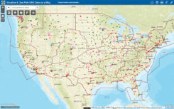
Making it safe for drones to fly over people
February 20, 2019
Changes to the Federal Aviation Administration (FAA) operational drone restriction were recently proposed in order to allow some […]
Read More

Changes to the Federal Aviation Administration (FAA) operational drone restriction were recently proposed in order to allow some […]
Follow Us