No audio available for this content.
Esri has acquired nFrames, a technology company that develops SURE, an imagery and lidar 3D surface reconstruction software.
According to Esri, this will enable the fusion of imagery with 3D GIS, allowing nFrames and Esri users to seamlessly capture and analyze 3D data from aerial, drone and ground-based sensors in an automated end-to-end process.
SURE scales 3D data creation to large city and countrywide airborne image datasets and projects. According to nFrames, it gives professional photogrammetry workflows improved precision, speed and simplicity on premises or in the cloud. SURE can be used for a number of industries, including those in government; national mapping; insurance; and architecture, engineering, and construction (AEC).
Through this acquisition, Esri gains a robust production engine that transforms imagery and lidar data into point clouds, phototextured 3D meshes and true orthos, Esri said.
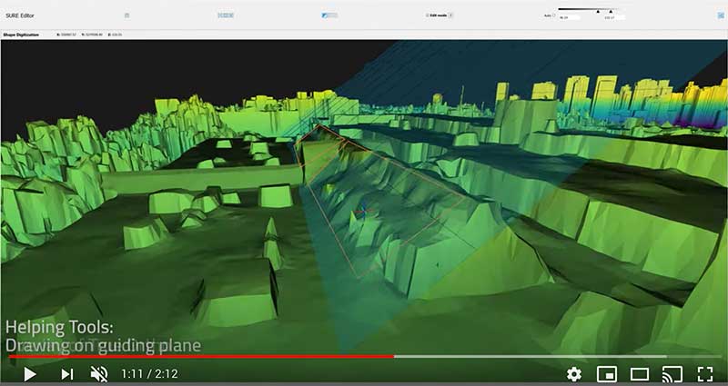
In addition, SURE allows its users to generate 3D maps at scales from individual construction sites to entire cities and countries. These maps are fully automated at high resolution and repetition rates, nFrames added.
“nFrames is a leading provider of 3D image reconstruction software and services, and I am excited to welcome the company to the Esri family,” said Jack Dangermond, Esri founder and president. “As Esri continues down its path of innovation to create a multidimensional experience, this acquisition enhances our ability to create extremely high-quality 3D data from imagery, which is critical for our customers in the municipal, planning and AEC industries.”
SURE software will become a part of Esri’s ArcGIS platform. According to Esri, it will make SURE capabilities available in ArcGIS Drone2Map and Site Scan for ArcGIS so users can create better meshes, point clouds and true orthos from their drone imagery.
“Together with Esri, we will be able to unlock the full value of 3D surface data through GIS by connecting geometry with metainformation to provide spatial context,” said Konrad Wenzel, CEO and co-founder of nFrames. “This fully automatic chain from data capture to analytics will enable smarter decision-making.”
The nFrames headquarters will now serve as a new Esri research and development center based in Stuttgart, Germany.


