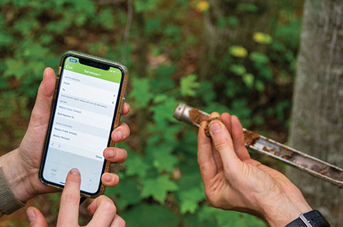
Wetlands software integrated with Esri ArcGIS
Ecobot, developer of environmental data reporting software, is now integrating enhanced Esri ArcGIS mapping and data capabilities via a partnership begun in 2019 through Esri’s Emerging Partner with the Startup Program.
The partnership enabled the addition of familiar geospatial modeling, mapping, georeferencing and data-collection capabilities within the wetland delineation app.
The new capabilities will further automate and speed the process of wetland delineations, allowing Ecobot customers to support paperless mapping of wetlands — scientists and engineers can walk the perimeter of a wetland, dropping virtual flags with a tap on the screen.
The Ecobot natural resources platform includes comprehensive reference materials, automated calculations, and instant generation of U.S. Army Corps of Engineers (USACE) Wetland Determination forms, along with Esri-ready shapefiles.
The addition of Esri ArcGIS technology is expected to slash project time and costs by an additional 5%-8%.
“Ecobot has been used to prepare more than 6,000 USACE forms for jurisdictional determinations,” said Lee Lance, Ecobot co-founder and CEO.
“Accurate and efficient wetland mapping and data collection by scientists is critical to sound construction practices, especially in an era of climate change, when sea rise and heavy precipitation events are predicted to increase across the country,” said Dawn Wright, chief scientist at Esri.
“We are thrilled to see one of our Emerging Business Partners taking advantage of our larger partner network to deliver Esri technology inside of a critical tool.”


Follow Us